
Yogis Travel SW England by Foot
Yogis Travel SW England by Foot
They say if you want to get to know an area – the topography, the natural history, the people, the wildlife, and the lay of the land – then walk it. And that is what Sharon and Mike are doing on their current trip on the SW England peninsula…
Below find three sections: (A) Travel Diary, (B) Photo Journal, & (C) Maps
Travel Diary
Sharon and Mike write:
We started in a town called Clovelly in Devon then we crossed into Cornwall and are making our way down the western peninsula. We walked 13 miles today and are now in a village called Portreath. We will walk to St Ives tomorrow a long day, 18 miles, yikes! We are having a wonderful time and have met the nicest people. We had some rain and wind for a couple days in the beginning but are having fantastic weather now. Such a great way to see Cornwall. Love it!! Hope all is well at home. Be back to week of July 1.
Photo Journal
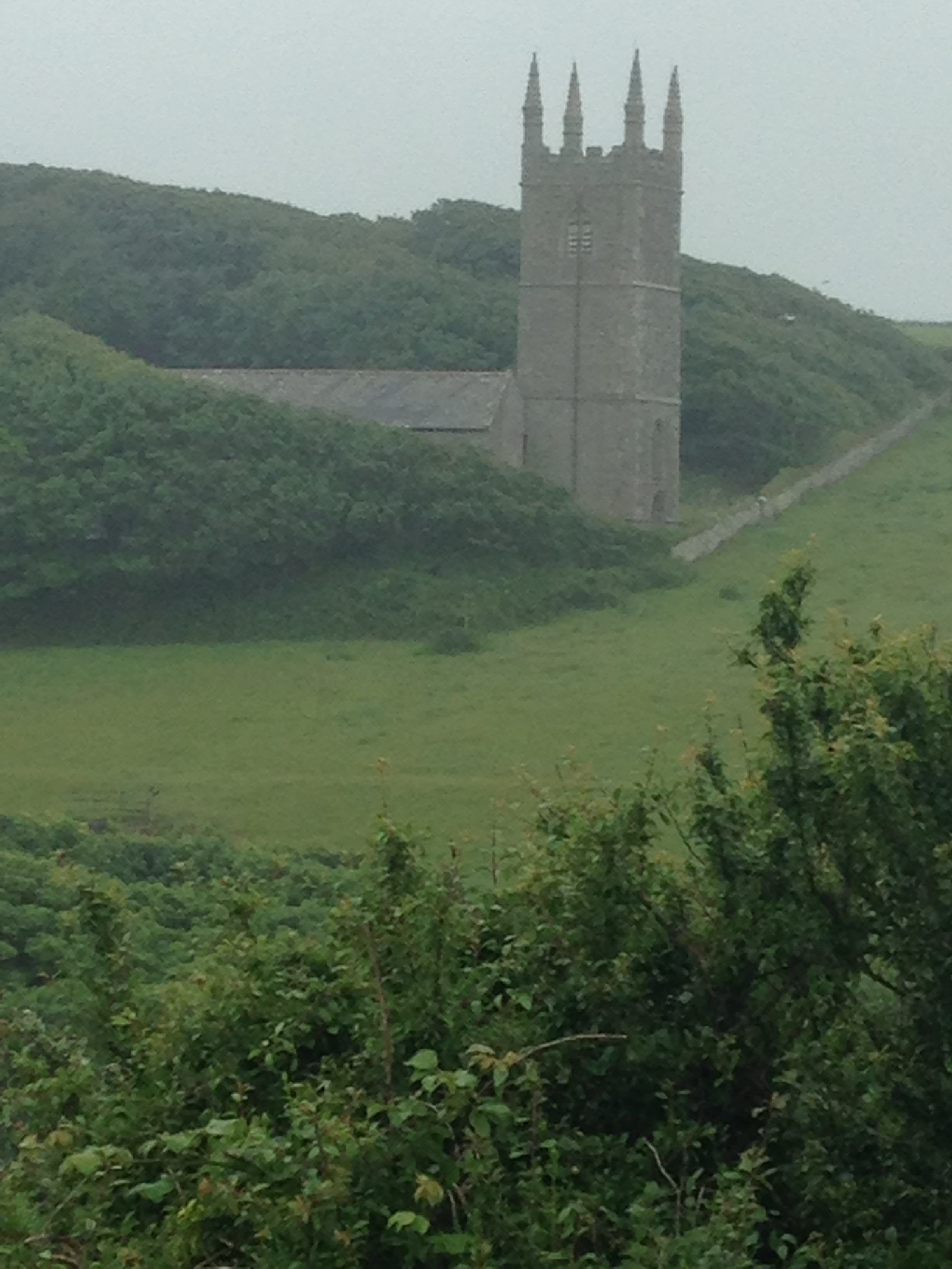
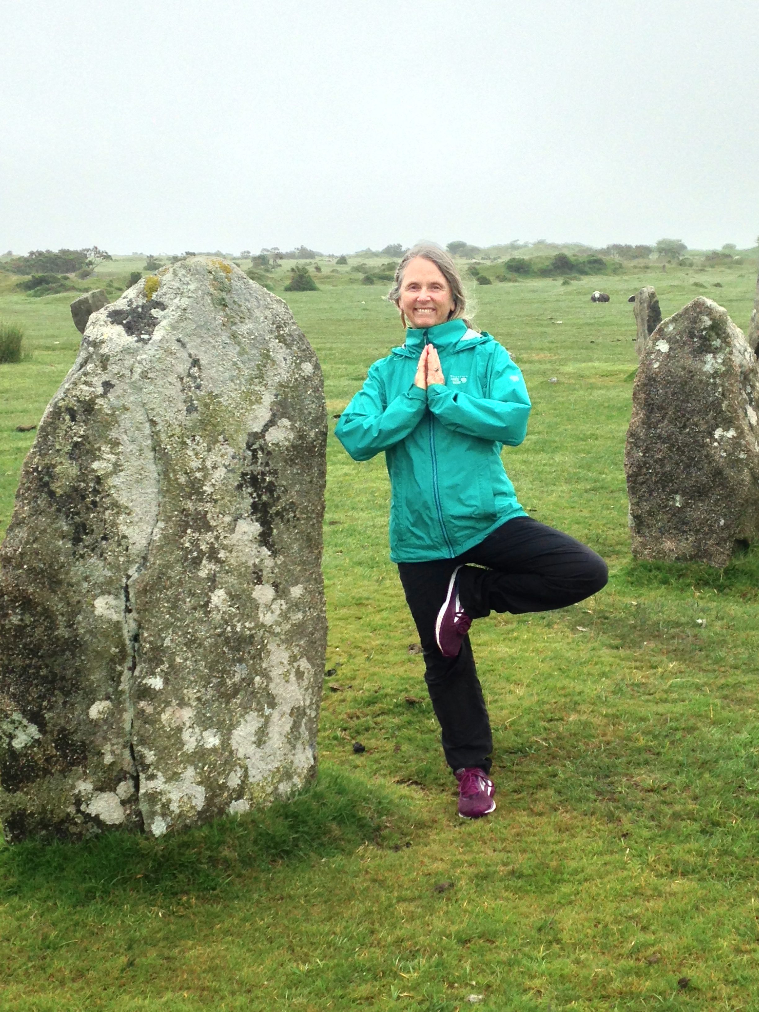
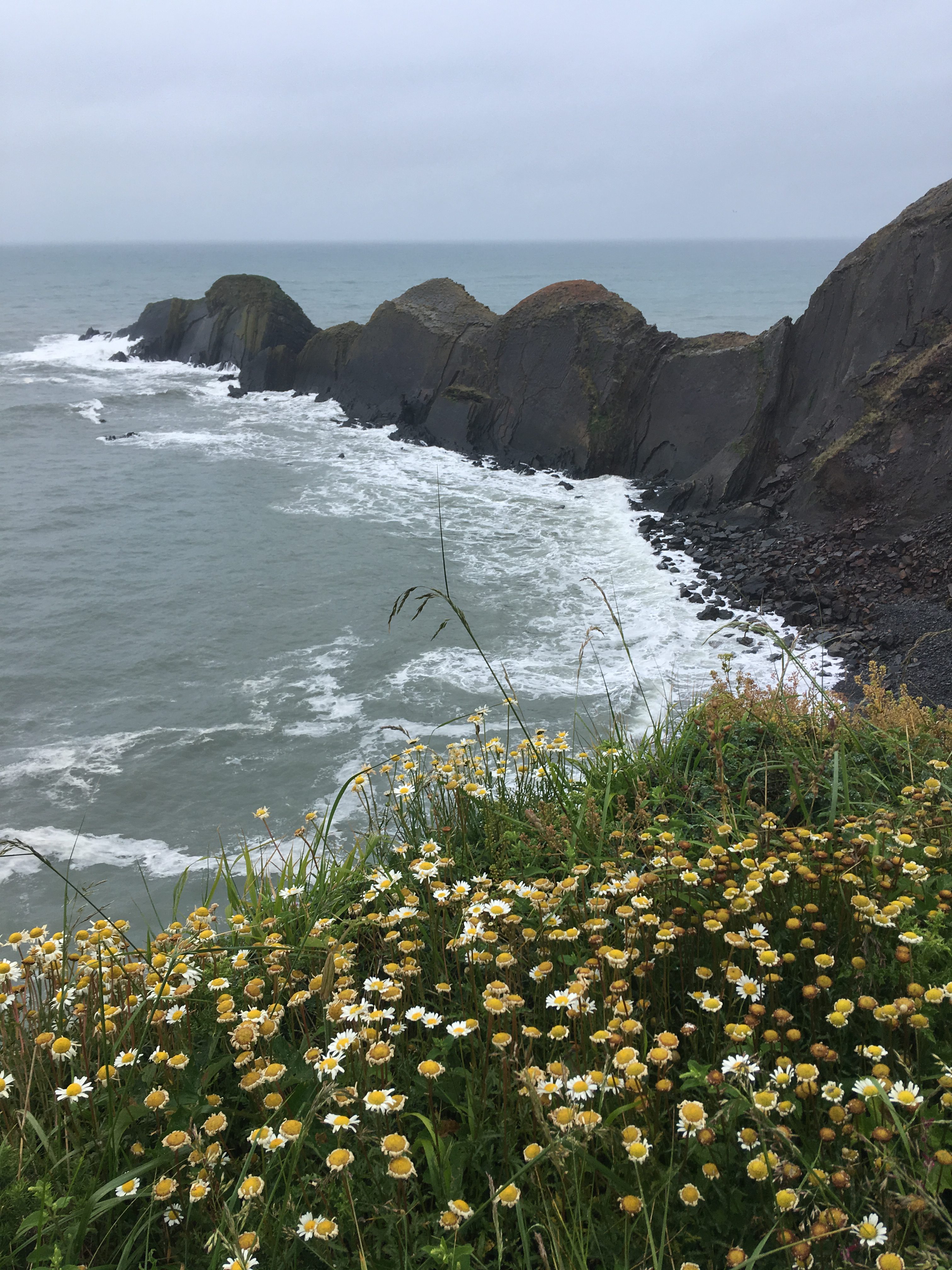
Here is a very neat series of photos of the sights, trails, and coastline of the region – along with a few yoga poses, of course.
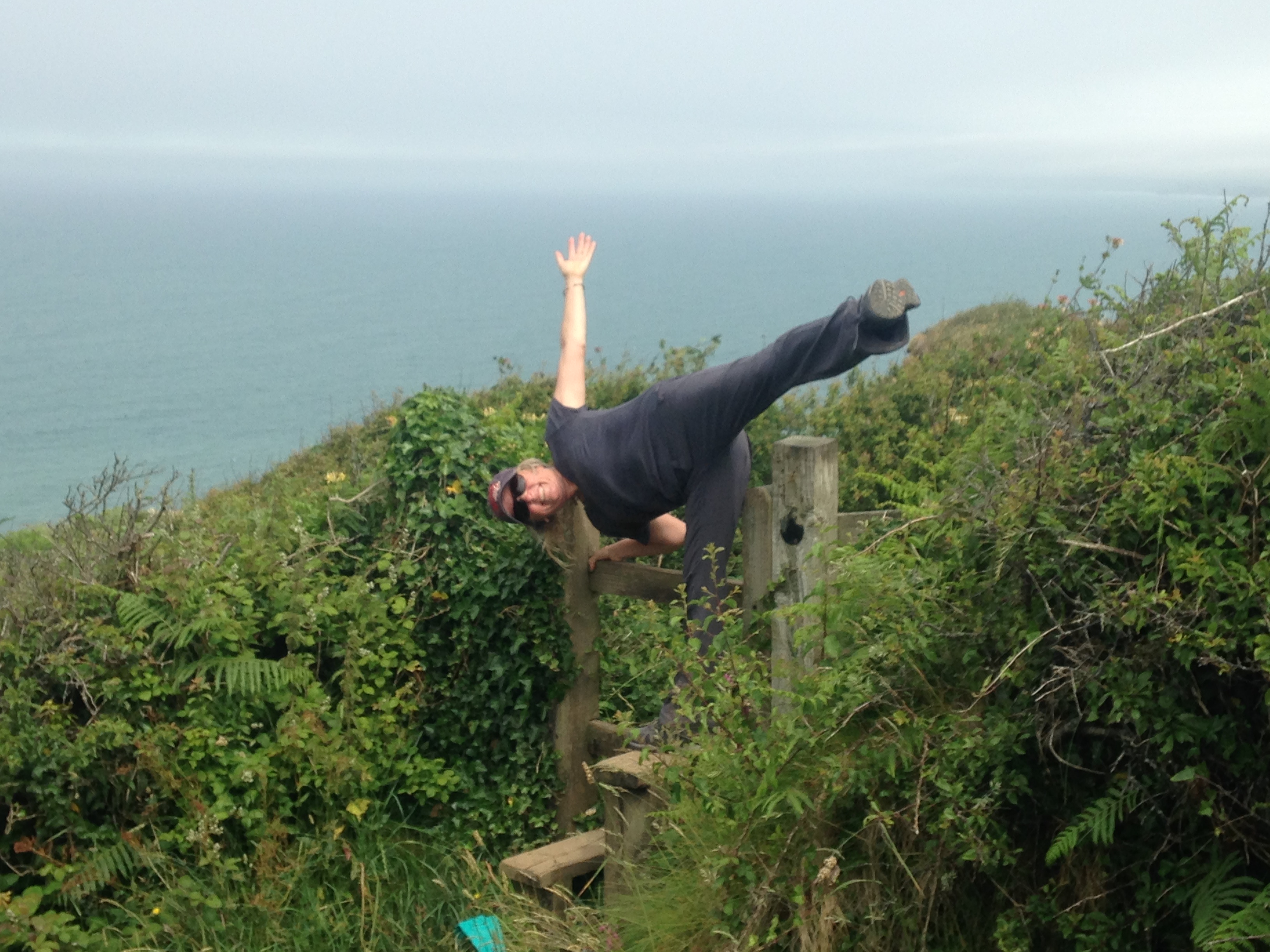
Tree pose amidst the rocks…
That is quite the humpback coastline…
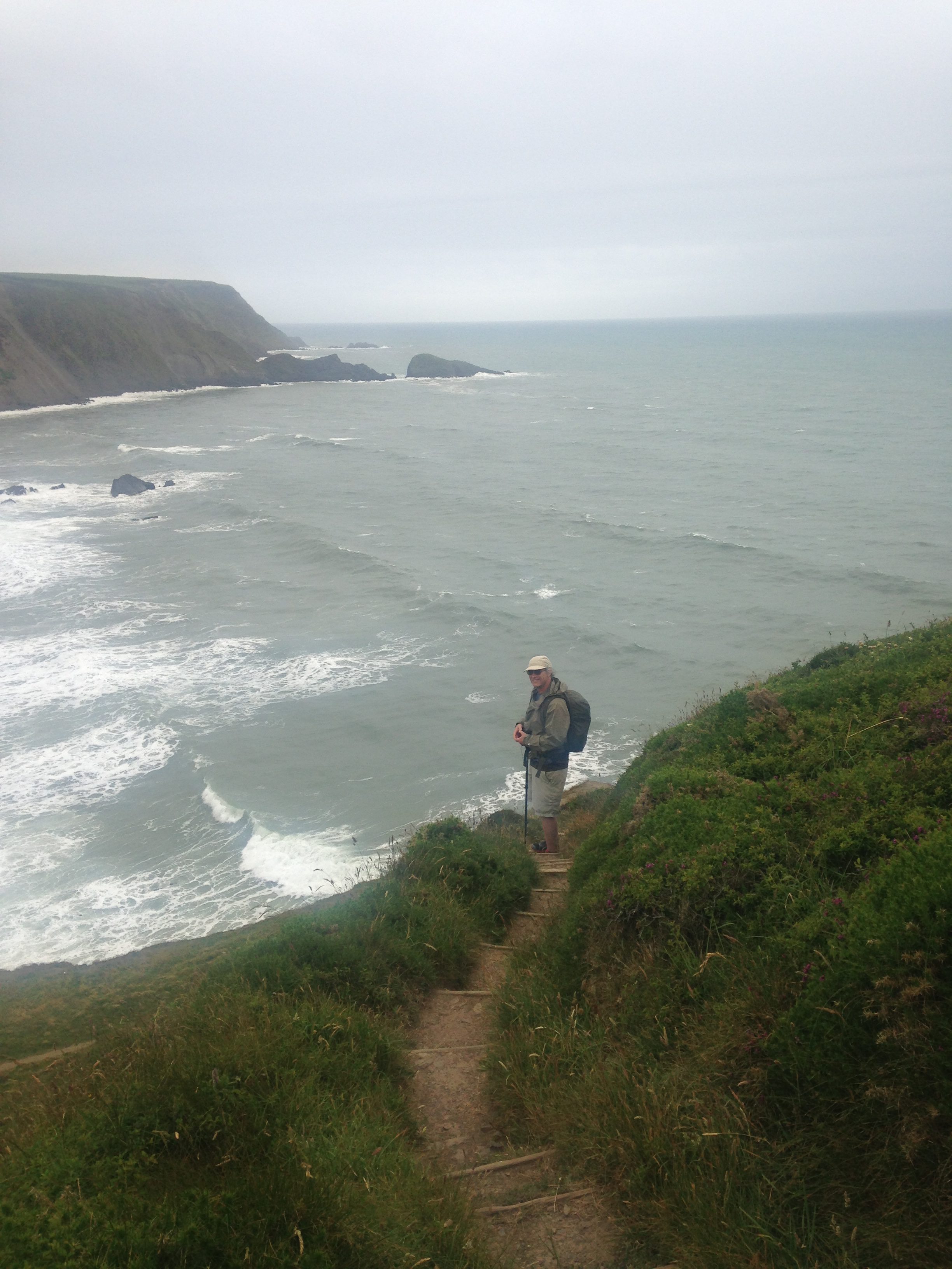
You can see Mike down below along the switchbacks of the trail. 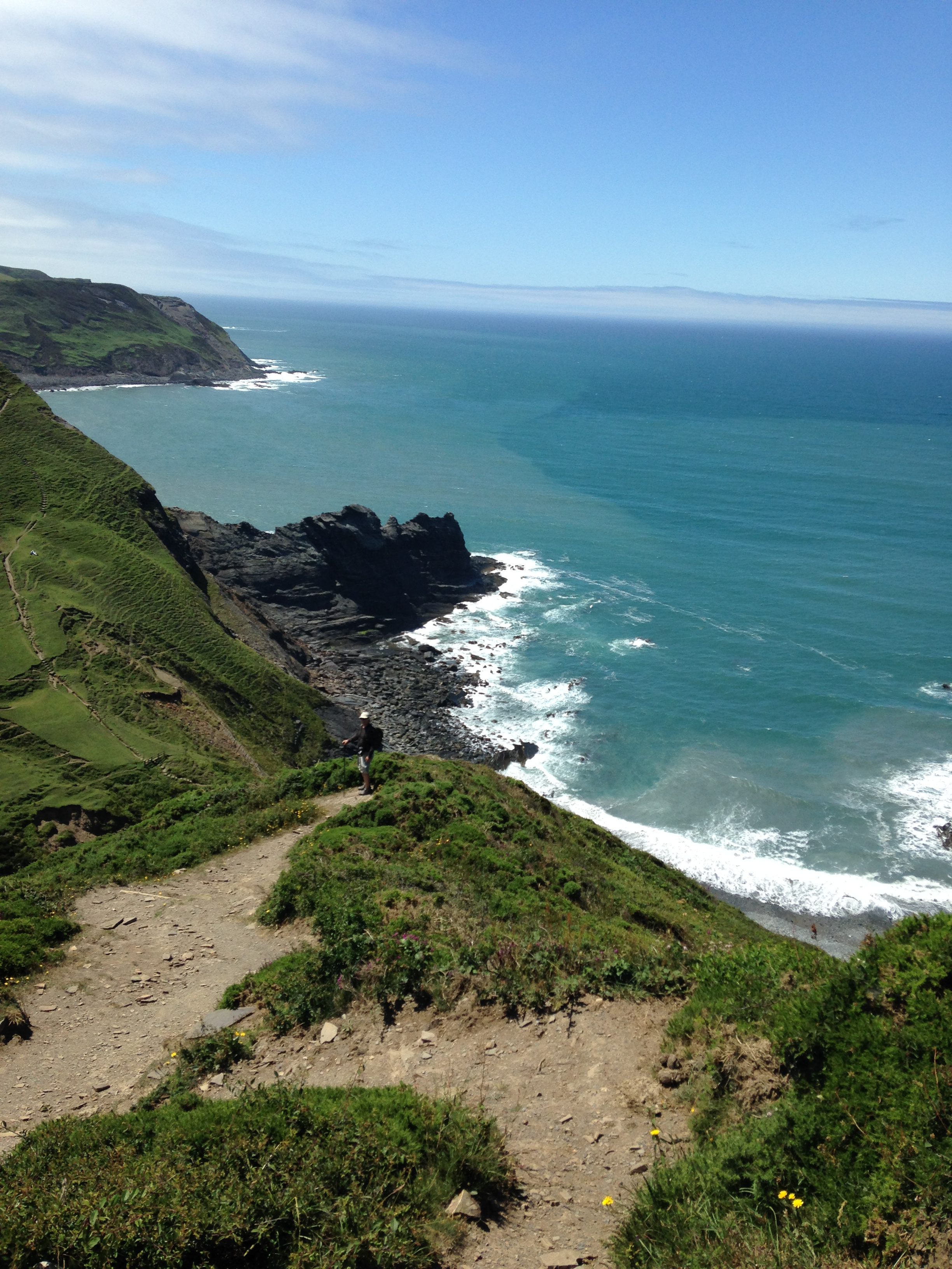
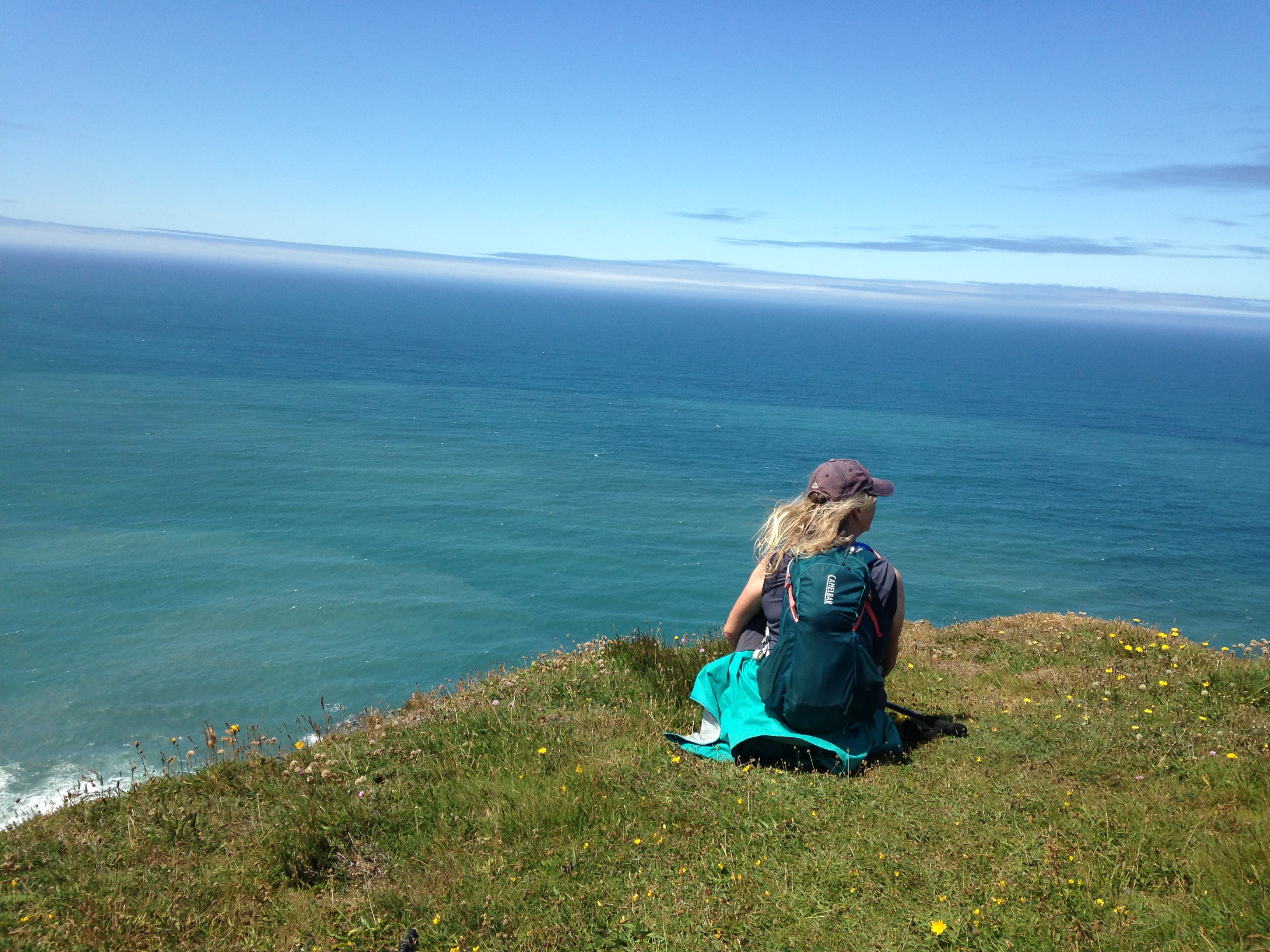
Here is Sharon doing a supported half-moon pose over the Celtic Sea (?)
Maps
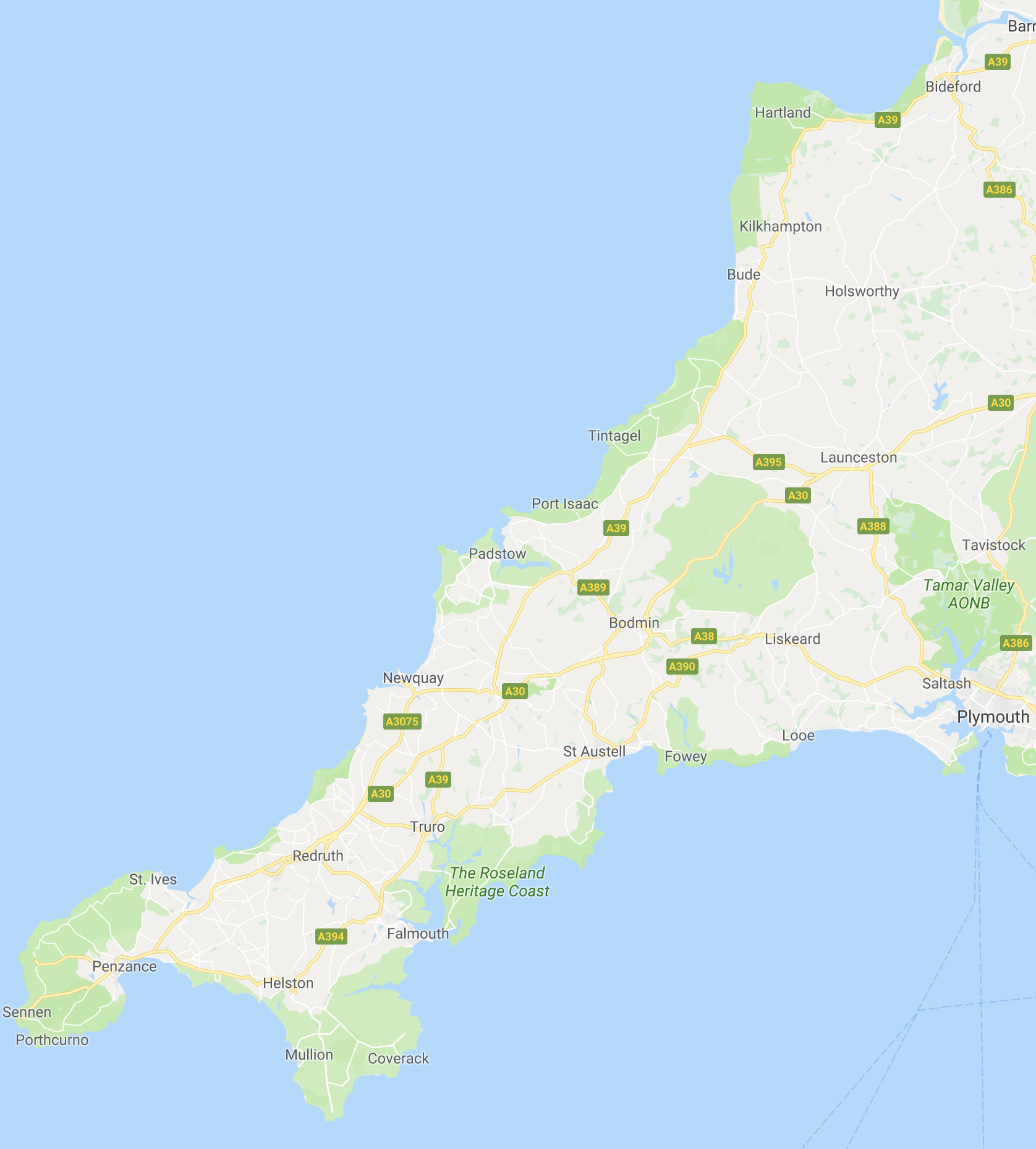
In the below map, the county of Cornwall is highlighted in red:
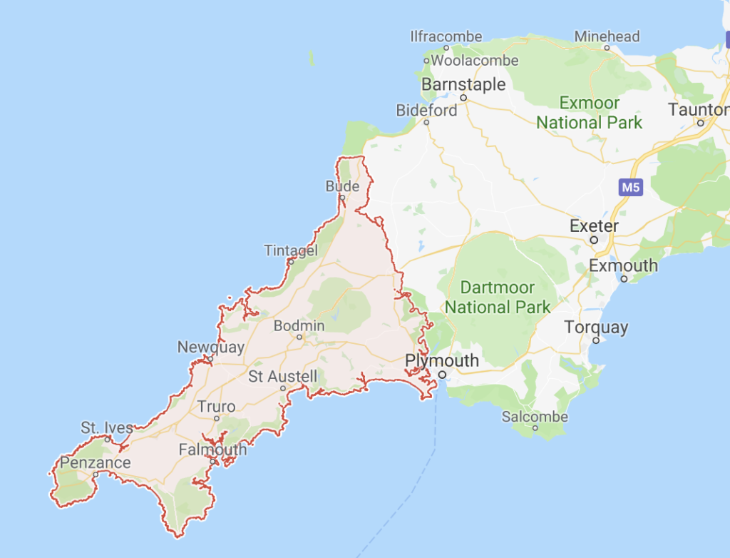
“Cornwall is a county on England’s rugged southwestern tip. It forms a peninsula encompassing wild moorland and hundreds of sandy beaches, culminating at the promontory Land’s End. The south coast, dubbed the Cornish Riviera, is home to picturesque harbour villages such as Fowey and Falmouth. The north coast is lined with towering cliffs and seaside resorts like Newquay, known for surfing.” – Courtesy of Google Maps
What a glorious trip! Thanks for the lovely pix and please send more!
Agreed – I am with Annie – I too am awaiting the next installment….